Interactive Maps 101
Curious about the Public Works Yard and the scope of the work that Public Works and Parks crews do out in our community? Visit these two interactive maps to learn more about the crews and facilities that keep our community moving!
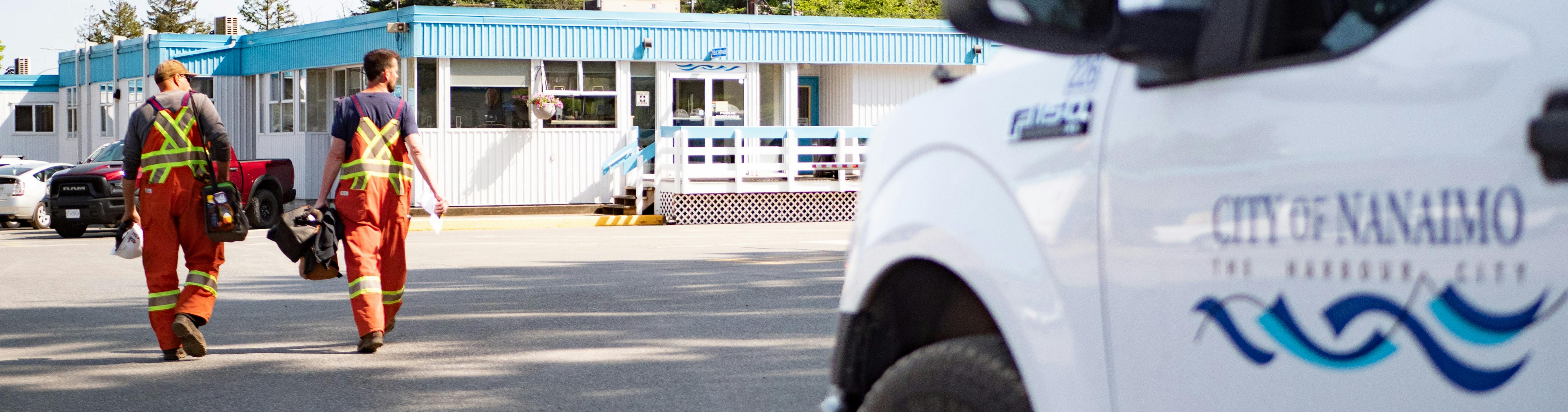
A Look at the Public Works Yard

Located at 2020 Labieux Road, the Public Works Yard is a long and narrow stretch of land across from Beban Park that follows alongside the railway. The very active yard is where all of the City’s fleet is maintained, infrastructure supplies are stored and disaster response is coordinated. Our snow plows, sanitation trucks, hydro-vac truck and so many more mobilize from this yard. Tour through the map to learn more!
Public Works Yard Interactive Map
Public Works and Parks in the Community

Nanaimo’s Third Street Sports Corridor provides a perfect location to highlight the work and the reach of both Public Works and Parks Operations crews. From the parks, gardens and fields our crews maintain, to the storm and sanitary sewer, to the many ways we service our roads, there’s a lot of infrastructure in our community that we fully depend upon. Thankfully, our operations crews are on top of it all.
Public Works and Parks in the Community Interactive Map
Looking to learn even more about the Nanaimo Operations Centre Project and how a renewed facility will help keep these services going? Check out the 101 run-down below or read through the Frequently Asked Questions:

Thank you for your contribution!
Help us reach out to more people in the community
Share this with family and friends